

Halifax County sits on the fall line — the seam where North Carolina's rocky Piedmont drops into its flat Coastal Plain — at the point where the Roanoke River stops being reliably navigable for seagoing traffic. That one geographic fact explains almost everything that follows: why colonists settled here before there was a county to govern them, why a river port grew into a revolutionary meeting place, why a canal and then a railroad both had to be built around the same rapids, and why a dam eventually turned the river's remaining drop into electricity and a lake.
1722–1758 Scots, Settlers & a New County
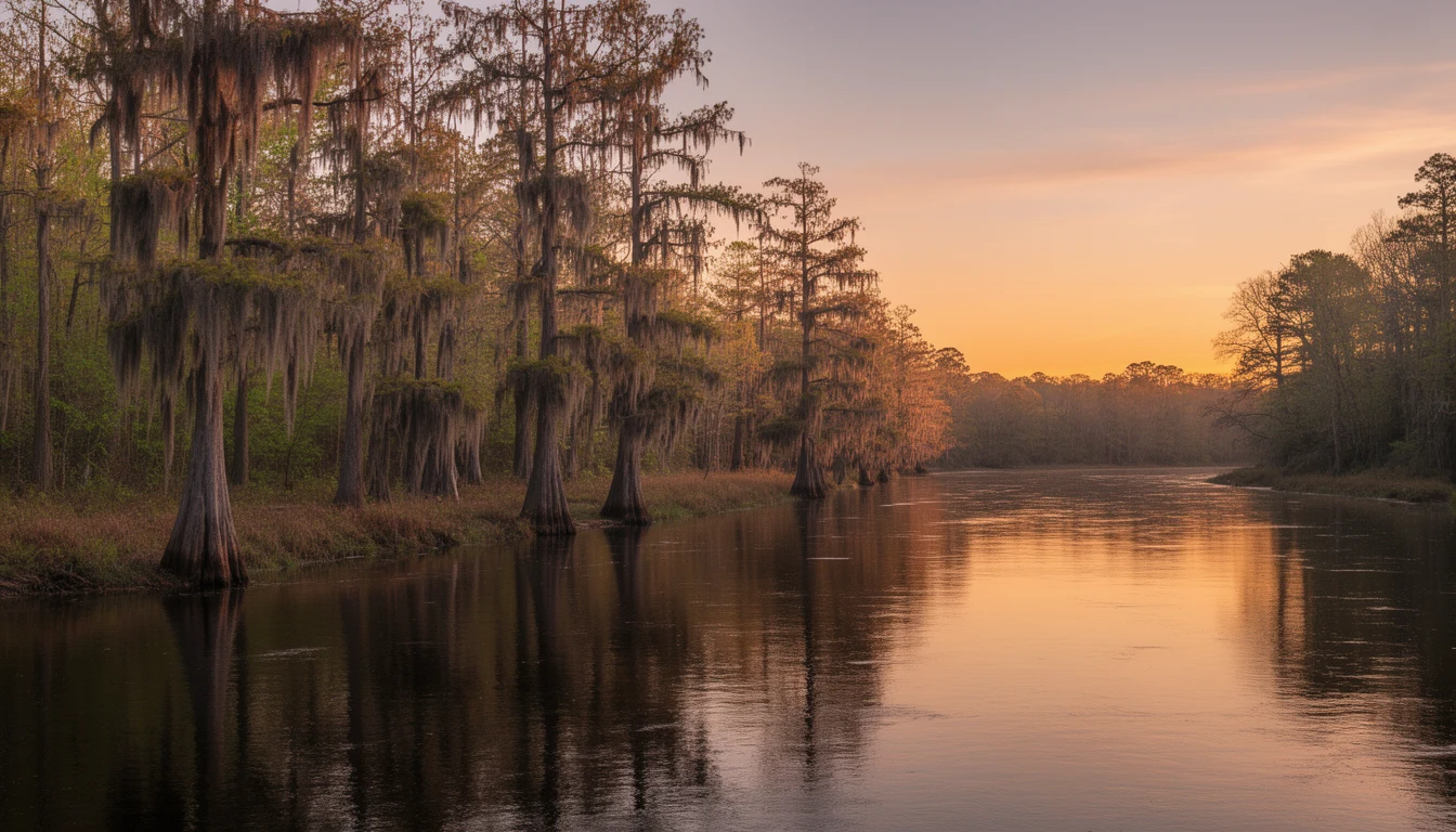
The oldest documented European settlement inside today's county lines predates the county itself by decades. In 1722, a colony of Scots Highlanders led by Lord Nairn settled in the "neck" of land formed by a bend in the Roanoke River in the eastern part of what would become Halifax County — the origin of the name Scotland Neck, which described the cluster of small communities that grew up around that original settlement long before any town was formally laid out there2.
Enfield, on the county's southern edge, has its own claim to age: the area was settled prior to 1725, and the town itself was established in 1740, making it the oldest town in the county by most accounts — older than the county seat, and older than the county3. Local tradition holds the area's original name was "Huckleberry Swamp," for the low, wet ground and the huckleberry bushes that grew on it before Enfield replaced it.
The county itself came later. Halifax County was established in 1758 out of neighboring Edgecombe County and named for George Montague, second Earl of Halifax and president of the British Board of Trade and Plantations. Its county seat, the town of Halifax, had actually been established the year before, in 1757, on the banks of the Roanoke — the town predates the county that governs it by a year1. Halifax grew into the trading center for a wide stretch of the river valley, prosperous enough that it was at one point considered as a possible site for the capital of North Carolina.
That prosperity, and the town's role as a genuine gathering place for the colony's leadership, is why Halifax could host what it hosted next.
1759 · Apr 12, 1776 Riots & the Halifax Resolves
The path to 1776 was not a straight one. In 1759, the Enfield Riots — a rebellion against corrupt land agents, inflated titles, and collection of quit rents under Robert Earl Granville, heir to the district's proprietary land rights — became, in retrospect, an early prelude to the resistance that followed a generation later.
North Carolina's Fourth Provincial Congress met at Halifax in the spring of 1776. On April 12, its eighty-three delegates unanimously adopted a document later called the Halifax Resolves, empowering the colony's delegates to the Second Continental Congress to concur with the other colonies in declaring independence from Britain. Historians identify it as the first official action by an entire colony recommending independence from Great Britain — nearly three months before the Declaration of Independence was adopted in Philadelphia4.
The first official action by an entire colony recommending independence — nearly three months before the Declaration of Independence.
The date on the North Carolina state flag is that date. It did not happen in Raleigh, Wilmington, or Edenton — it happened in this small river town. Historic Halifax State Historic Site preserves the colonial town today: restored and furnished buildings including the Tap Room and Eagle Tavern (1760/1790), the Owens House (c. 1760), the Constitution House (c. 1770), the Sally Billy House and Burgess House (1808), the Clerk's Office (c. 1832), and the county jail (1838), plus guided tours, an Underground Railroad Trail, and living-history programming most Saturdays.
1819–1834 The Roanoke Canal
The same rapids that made the site useful blocked river traffic. Boats coming up from the Albemarle region could not get past the falls at what are now Roanoke Rapids and Weldon, capping how much of the upriver interior could reach the coast. The Roanoke Navigation Company's answer was a canal and lock system built around the falls, nine miles long between Roanoke Rapids Lake and the river's return point at Weldon, feeding into a larger network intended to link the tidewater at Norfolk to the base of the Blue Ridge Mountains, some 400 miles inland.
Sources genuinely disagree on when the canal was finished. NCpedia and the canal's National Register documentation date the main construction to 1819–1823. But the state's own 1948 roadside historical marker at the site (NC Highway Historical Marker E-34, on Roanoke Avenue in Roanoke Rapids) reads plainly: "Canal and locks completed around river rapids, 1834."5 This page states both dates rather than picking one silently — the canal may have been navigable years before the full lock system at Weldon was truly finished, which would reconcile an earlier "built" date with a later "completed" one, but that reconciliation is not confirmed in any source consulted for this page.
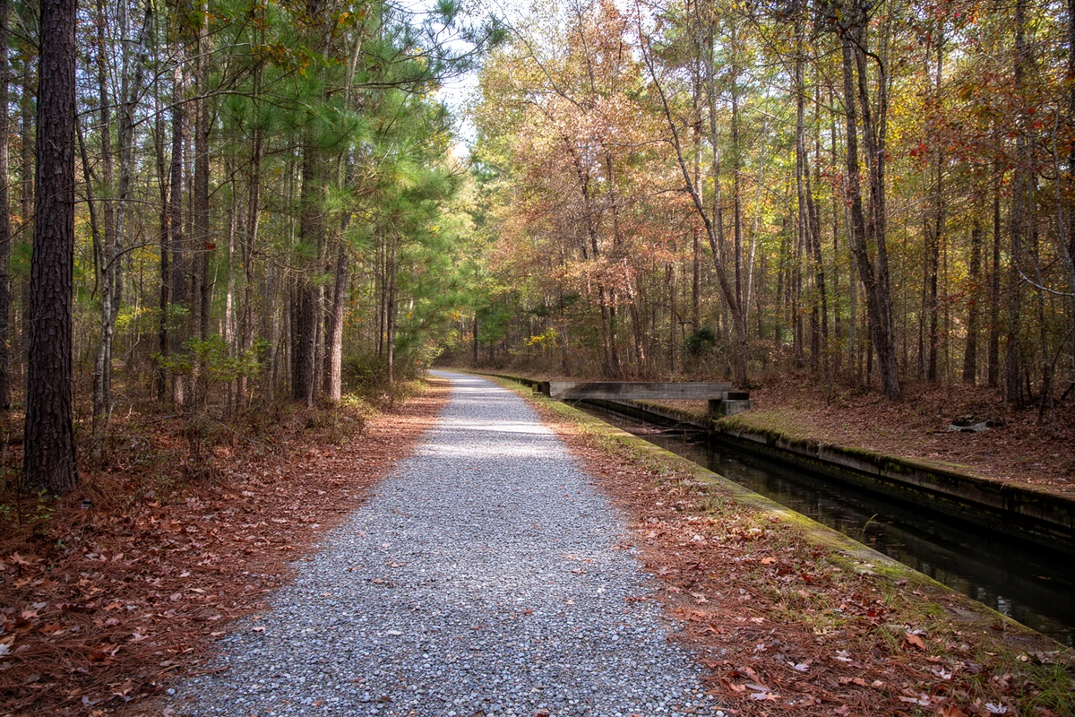
Whichever date is right, the canal's working life was short. In its first full operating year, 1835, roughly 6,877 hogsheads of tobacco and 10,646 barrels of flour moved through it alongside other freight6. By 1840 traffic had already fallen off sharply, and by 1860 only a few barges remained in use — the railroads had arrived within a generation and made canal freight all but obsolete. The Chockoyotte Creek Aqueduct in Weldon, called the canal's "architectural gem," survives, and the canal was listed on the National Register of Historic Places in 1976. What is left today is one of the better pieces of public recreation infrastructure in the county — the Roanoke Canal Trail runs 7.2 miles along the old towpath between Roanoke Rapids and Weldon, anchored by the Roanoke Canal Museum housed in a surviving 1823-era lock building.
1840–1855 Weldon & the Railroads
What replaced the canal was, for a while, the most impressive piece of transportation infrastructure on the continent. The Wilmington and Raleigh Railroad Company was originally chartered to connect the state's largest port, Wilmington, to the capital in Raleigh, but construction — begun in 1836 — was rerouted to end at Weldon instead. When it opened in May 1840, the line ran 161.5 miles, longer than any other railroad track in the world at the time7. It was renamed the Wilmington and Weldon Railroad in 1855, and during the Civil War it became known as the "lifeline of the Confederacy," carrying supplies from the blockade-running port at Wilmington north through the interior.
Weldon's significance was not just that a long line ended there. The Raleigh and Gaston Railroad also reached the town in 1840, and further lines followed north into Virginia toward Petersburg and Portsmouth, making Weldon a genuine junction rather than a dead end. By 1855 five separate rail companies operated through the still-young town — incorporated January 6, 1843 — which some contemporaries called, without much modesty, the "Railroad Capital of the World."8
The county's center of gravity moved with the rails. Towns that had depended on river-and-canal freight lost ground, and towns on the line grew. That history is still legible in Weldon's compact street grid and its housing stock; the Weldon Historic District was listed on the National Register in 1996.
1867–1896 Scotland Neck, Littleton & Enfield
Scotland Neck did not become an actual town until nearly a century and a half after its Highlander settlers arrived. By the early nineteenth century, two small settlements a mile apart — Clarksville and Greenwood — had grown up separated by pine forest and swamp. After the Civil War, John H. Hyman of Clarksville proposed consolidating the two into one incorporated town; a surveyor laid off streets, and the North Carolina General Assembly passed the act of incorporation in 18679. The town grew steadily from there, and its central business and residential blocks — 249 contributing buildings in Greek Revival and Gothic Revival styles — were listed as the Scotland Neck Historic District on the National Register in 2003.
Littleton, in the county's northwest corner near Lake Gaston, was incorporated in 1877 and named for William Little, a sitting state senator and the town's first postmaster. Its most distinctive nineteenth-century institution was Littleton College, a Methodist women's college that opened in 1882 with eleven students, peaked at 285 in 1908, and was destroyed by fire in 1919 — it never reopened10. Littleton also carries a county-line quirk worth knowing before you buy near it: the town straddled Warren and Halifax counties for most of its history, and only became wholly part of Halifax County by a local election held on July 1, 1974.
Enfield's second act came from agriculture, not railroads directly. The opening of the Enfield Tobacco Market in 1896 brought real prosperity to what had been a town of roughly 700 people, and new businesses followed, including the Bank of Enfield, the oldest bank in the county. Peanuts eventually eclipsed tobacco as the town's leading agricultural trade, and Enfield became, for a time, the world's largest raw peanut market11.
1895–1974 Mills at the Falls
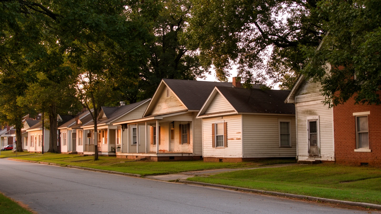
The falls that had blocked river boats turned out to be worth more as power than as passage. Roanoke Rapids grew up as a mill town in the space of twenty-two years: the Roanoke Mills Company (1895–1897), the Rosemary Manufacturing Company (1901), Patterson Mills (1910), and the Roanoke Mills Company's second plant (1916–1917) — four cotton mills drawing power from the river's drop at the fall line12. The hamlets of Rosemary and Roanoke Junction, which had grown up near the canal's middle locks, merged into the mill town that became present-day Roanoke Rapids. The pattern was common across the Carolinas: mills at the center, compact mill-village houses built near the plants, and a town whose employment, housing, and social life all ran through the same handful of companies. The Roanoke Rapids Historic District, nominated as part of the city's own 1997 centennial, was listed on the National Register on April 27, 1999.
Roanoke Rapids is also where labor organizer Crystal Lee Sutton worked, folding towels for $2.65 an hour at the J.P. Stevens & Co. mill. In April 1973 she saw a flier for a union organizing meeting — she had no prior union experience — and became the driving force behind the campaign to unionize the plant. In the moment the 1979 film Norma Rae was built around, Sutton wrote "UNION" on a scrap of cardboard and stood on top of her workstation; one by one, her coworkers cut off their machines. On August 28, 1974, workers at the J.P. Stevens plant voted to affiliate with the Amalgamated Clothing and Textile Workers Union13.
She wrote "UNION" on a scrap of cardboard and stood on top of her workstation; one by one, her coworkers cut off their machines.
The textile era ended the way it ended across the region: the mills are all closed now, and nearly 3,000 jobs went with them. Today ECU Health North Hospital, three separate school systems, county and municipal government, and the I-95 corridor carry much of the county's employment base. Much of the old mill-village housing is still standing and still trading — some of the most affordable stock in eastern North Carolina, and some of the oldest.
1935–1943 The Tillery Resettlement
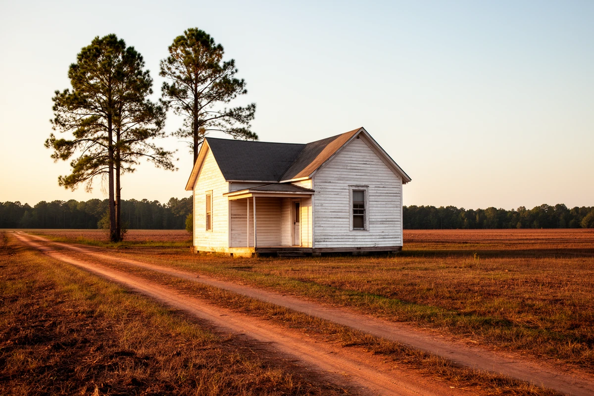
In 1935, the federal Resettlement Administration launched an experimental project along the Roanoke River near the small settlement of Tillery, on more than 18,000 acres carved out of former plantation land. Called Roanoke Farms overall, the project was divided into segregated sections: white settlers were assigned to the Roanoke Farms section, and Black settlers to a section called Tillery Farms — possibly the only New Deal-era planned resettlement community of its kind14.
At its peak the combined project held 294 forty-acre farms, each costing roughly $7,454, with homes for more than two hundred families and a shared community center, cooperative store, grist mill, potato curing house, and farm equipment. Settlers were expected to learn farm and home management, keep expense records, and pay monthly installments; after three to five years of demonstrated "interest and potential," they gained title to the land and paid off the remaining loan balance over forty years.
The federal government liquidated the project in 1943. By then, ninety-three African American settlers had become outright landowners — a genuinely rare outcome for a Depression-era federal program touching Black farmers in the segregated South. Many of the resettlement families — first, second, third, and now fourth generations — still live in the original houses built during the New Deal, and the community organization Concerned Citizens of Tillery still operates today.
1963 Lake Gaston
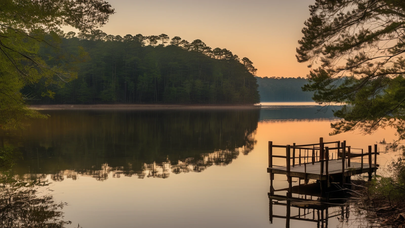
The county's newest major geographic feature is barely six decades old. Virginia Electric and Power Company (VEPCO, now Dominion) had recognized the Roanoke's hydropower potential as early as the 1920s, but the project took decades to actually reach completion. Gaston Dam — 3,600 feet long, rising 105 feet above the riverbed, built of compacted earth and rock fill with a concrete powerhouse and spillway housing four generators totaling 224 megawatts — was finally dedicated on June 26, 196315. Unlike the Kerr Reservoir upstream, Lake Gaston was built as a single-purpose hydropower reservoir, not designed to offer any flood-control benefit.
The impoundment created a lake of more than 20,000 acres, roughly 34 miles long, with over 350 miles of shoreline. That shoreline is shared. On the North Carolina side it touches Halifax, Northampton, and Warren counties; on the Virginia side, Brunswick and Mecklenburg. Only Halifax's share — generally the lake's south shore, from around Littleton east to Gaston Dam — is this site's coverage area; the north shore is Northampton County's, a separate county line running straight through the water that determines which county taxes a parcel and which school system serves it. The full treatment is in Chapter 3, Lake Gaston Economics.
What the dam did, in effect, was hand a county losing its industrial base a recreational waterfront economy it had never had before.
Present The County Today
Halifax County's population has been falling across four straight census cycles: 55,516 in 1990, 57,370 in 2000, 54,691 in 2010, and 48,622 in the 2020 census16. A county that has lost residents across recent decades is a real fact about this place, and this site states it plainly rather than working around it.
The county seat is still the town of Halifax; the largest municipality is Roanoke Rapids, at 15,229 residents in 2020, with Weldon, Enfield, Scotland Neck, and Littleton making up the rest of the county's larger incorporated towns. Hobgood, a small incorporated town of 268 residents near the Edgecombe County line, holds its own smaller version of the same rail-and-agriculture story: its restored former Atlantic Coast Line Railroad depot now anchors Friendship Park as a community hub and small railroad museum, and the town hosts an annual Cotton Festival. Tillery and Thelma remain unincorporated communities rather than towns of their own; Tillery's history is covered above, and nothing further on Thelma specifically was confirmed in the sources consulted for this page, so nothing further is claimed.
Five National Register historic districts sit inside the county lines — Halifax (1970, boundary increase 2011), Weldon (1996), Roanoke Rapids (1999), Scotland Neck (2003), and Enfield (2021)17 — an unusual density of listed historic fabric for a county this size, and a large part of why so much of the housing inventory here is old. One more structural fact worth knowing before you buy: Halifax County operates three separate public school systems inside one county's borders — Halifax County Schools, the Roanoke Rapids Graded School District, and Weldon City Schools. That arrangement is complicated enough that this brief gives it a full chapter rather than a paragraph: Schools & Services Straight Talk.
The mills' closure is not ancient history, and its effects are still measurable: Halifax County is a Tier 1 county under the North Carolina Department of Commerce's 2026 economic development tier rankings, the state's most-distressed tier — ranked the second-most economically distressed of North Carolina's 100 counties on the department's own combined score18. That is a real headwind, and it is also a large part of why the housing here is priced the way it is. Tier 1 status also unlocks enhanced state incentives and credits. Both things are true at once, and a buyer should hold both.
What ties the eras together is access. The river made the county; the canal tried to extend the river; the railroads replaced the canal; the mills used the river's water; the dam turned the water into power and a lake. Today the through-line is Interstate 95, which puts the county roughly ninety minutes from both Richmond and Raleigh — genuinely useful for a day trip or an occasional office run, not a daily commute anyone should plan on. That argument is the first chapter of the brief: The I-95 Thesis.
Primary Sources & Further Reading
NC Historic Sites — Historic Halifax
The state agency's own primary account of the Fourth Provincial Congress and the April 12, 1776 adoption of the Halifax Resolves, plus the restored colonial buildings and programming on-site.
The State Library of North Carolina's encyclopedia project. Source for county formation, the town of Halifax's 1757 founding, and general county-wide facts.
NC Dept. of Natural & Cultural Resources
Highway Historical Marker Program documentation (the Roanoke Canal marker's disputed date), and the department's own account of Crystal Lee Sutton and the Tillery Resettlement.
Annual County Development Tier Designations report — the direct primary source for Halifax County's 2026 Tier 1 economic-distress ranking.
Sources consulted for this page include NC Historic Sites and NC DNCR (both primary, state-agency accounts), NCpedia (the State Library of North Carolina's peer-reviewed encyclopedia project), the National Register of Historic Places nomination summaries for this county's five listed districts and the Roanoke Canal, the NC Department of Commerce's own 2026 tier-ranking report, U.S. Census population figures, and the Town of Weldon's own published local history for facts specific to that town's founding and incorporation (flagged in the footnotes as town-sourced, not independently verified against a third-party source). Wikipedia was used only to cross-check dates already established elsewhere, never as the sole source for a claim. Where sources genuinely disagree — as with the Roanoke Canal's construction-versus-completion date — this page says so rather than picking one silently. Numbered citations for specific claims appear below. Dates and figures are stated as given by the sources cited; nothing here is estimated or invented.
- Halifax County's 1758 formation from Edgecombe County, the town of Halifax's 1757 founding, and the county's naming for the Earl of Halifax, per NCpedia's geography entry. NCpedia, "Halifax County," ncpedia.org/geography/halifax. ↩
- Scotland Neck's 1722 settlement by Scots Highlanders led by Lord Nairn, per Carolana's Scotland Neck history page, cross-checked against Visit Scotland Neck's own local-history page. ↩
- Enfield settled prior to 1725 and established in 1740 — the oldest town in the county by most accounts — plus the 1759 Enfield Riots against Granville land agents, per Carolana's Enfield history page, cross-checked against the Halifax County genealogical history compiled at ncgenweb.us. ↩
- The April 12, 1776 Halifax Resolves — the Fourth Provincial Congress's eighty-three delegates and the "first official action by an entire colony recommending independence" characterization — per NC Historic Sites, the state agency operating the Historic Halifax site. NC Historic Sites, "Historic Halifax," historicsites.nc.gov/all-sites/historic-halifax. ↩
- The Roanoke Canal's construction/completion date is disputed between sources: NCpedia and National Register documentation date main construction to 1819–1823, while NC Highway Historical Marker E-34 (erected 1948, on Roanoke Avenue, Roanoke Rapids) reads "Canal and locks completed around river rapids, 1834." Both dates are stated on this page; neither is resolved silently. NC DNCR, "Roanoke Canal (E-34)," dncr.nc.gov/blog/2023/12/12/roanoke-canal-e-34. ↩
- The canal's 1835 first-full-year traffic figures (6,877 hogsheads tobacco, 10,646 barrels flour), the Chockoyotte Creek Aqueduct, and the canal's 1976 National Register listing, per the same NC DNCR marker documentation cited above. ↩
- The Wilmington and Weldon Railroad's May 1840 opening, 161.5-mile length, and "longest railroad in the world" distinction at opening, per NCpedia's ANCHOR project. NCpedia/ANCHOR, "The Wilmington and Weldon Railroad," ncpedia.org/anchor/wilmington-and-weldon. ↩
- Weldon's January 6, 1843 incorporation, the five rail companies operating through town by 1855, and the "Railroad Capital of the World" nickname, per the Town of Weldon's own published local history — a town-sourced account, not independently cross-checked against a third-party source. Town of Weldon, "The First Railroad Hub of the South," historicweldonnc.com. ↩
- Scotland Neck's 1867 incorporation act — the merger of the Clarksville and Greenwood settlements engineered by John H. Hyman — and the 249-building Scotland Neck Historic District (listed 2003), per Carolana's Scotland Neck history page and the Wikipedia-maintained summary of the district's own National Register nomination, cross-checked. ↩
- Littleton's 1877 incorporation, naming for state senator William Little, and Littleton College's 1882–1919 operation, per NCpedia's "Littleton College" entry and Carolana's Littleton history page; the 1974 Warren/Halifax county-line election is per the Wikipedia-maintained summary of Littleton's history, used here only to cross-check a date already established in county records. ↩
- Enfield's 1896 Tobacco Market, the Bank of Enfield (the county's oldest bank), and Enfield's peanut-market history, per Carolana's Enfield history page. ↩
- The Roanoke Rapids Historic District's four founding mills (Roanoke Mills Co. 1895–1897, Rosemary Mfg. Co. 1901, Patterson Mills 1910, Roanoke Mills Co. Plant No. 2 1916–1917) and the district's April 27, 1999 National Register listing (NRHP reference 98001574), per the Wikipedia-maintained summary of the district's own National Register nomination. ↩
- Crystal Lee Sutton's role at the J.P. Stevens & Co. mill and the August 28, 1974 union vote, per NC DNCR's own published account. NC DNCR, "The Real 'Norma Rae,'" dncr.nc.gov/blog/2016/08/28/real-norma-rae. ↩
- The 1935 Tillery/Roanoke Farms resettlement project, its segregated sections, the 294 forty-acre farms, and the 1943 liquidation with ninety-three African American settlers gaining title, per NC DNCR's published history and the Living New Deal project's Tillery entry, cross-checked. NC DNCR, "A New Deal Experiment — the Tillery Resettlement," dncr.nc.gov/blog/2013/02/15/new-deal-experiment-tillery-resettlement; Living New Deal, "Tillery Resettlement Community," livingnewdeal.org/sites/tillery-nc. ↩
- Gaston Dam's June 26, 1963 dedication, physical specifications, and Lake Gaston's size and shoreline, per Lake Gaston Guide's dam-history page, cross-checked against Virginia Places' summary of the same project. ↩
- U.S. Census population figures for 1990 (55,516), 2000 (57,370), 2010 (54,691), and 2020 (48,622), per the Wikipedia-maintained summary of Halifax County's census history, drawn from and cross-checked against underlying Census Bureau figures. ↩
- The five National Register historic districts in Halifax County and their listing years (Halifax 1970, boundary increase 2011; Weldon 1996; Roanoke Rapids 1999; Scotland Neck 2003; Enfield 2021), per the Wikipedia-maintained summary of Halifax County's National Register listings, cross-checked per district against each district's own Wikipedia/NRHP entry. ↩
- Halifax County's Tier 1 designation for 2026, ranked #2 of North Carolina's 100 counties by economic distress (lower rank number = more distressed), per the NC Department of Commerce's own report. NC Dept. of Commerce, "2026 North Carolina Development Tier Designations," commerce.nc.gov/report-county-tiers-ranking-memo-current-year. ↩