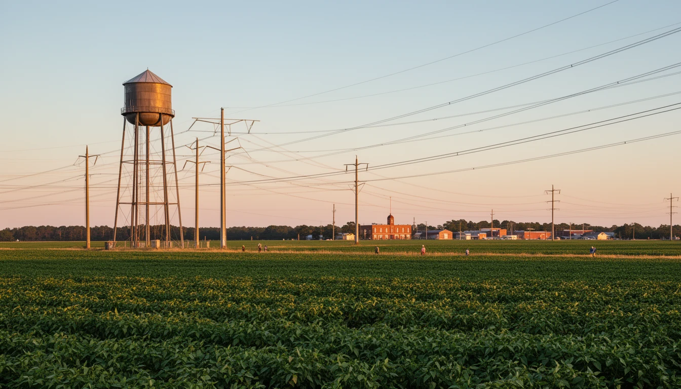


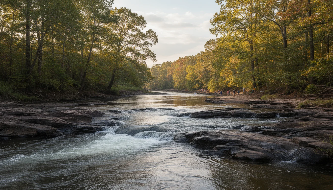
Standing on the bank at Weldon, you can hear what made this town before you see it: the Roanoke River dropping over the fall line, the rapids muttering over dark rock where the Piedmont gives way to the Coastal Plain. It is one of the best river views in Halifax County, and it is a view that comes with homework. The same geography that draws people here puts low-lying land in the river floodplain, and the cost of getting that wrong lands entirely on you. Here are nine flood facts to check before you sign anything near this river.
1. Is flood risk parcel-specific, or does the whole town flood together?
Parcel-specific, block by block, sometimes lot by lot. Two houses a few hundred feet apart in Weldon can sit in entirely different flood zones, because the floodplain follows elevation and the river’s old channels, not the street grid. Never assume your lot matches your neighbor’s. The only way to know is the map for your exact parcel.
2. What does “100-year flood” actually mean?
It does not mean once a century. A 100-year flood is the flood with a 1-percent chance of being equaled or exceeded in any given year, and FEMA calls the land it covers a Special Flood Hazard Area, or SFHA. Over a 30-year mortgage, a 1-percent annual chance adds up to roughly a one-in-four chance of flooding at least once. The name makes it sound rare; the math says it is a real part of ownership.
3. What does being in an SFHA mean for your loan?
If the house is in an SFHA and you use a federally backed loan, flood insurance is required as a condition of closing. This is not a lender preference; it is the mandatory purchase rule that follows the mortgage. If you plan to finance, the flood map does not just inform your decision. It can decide whether the deal closes at all.
4. Where do you pull the map?
The FEMA Flood Map Service Center at msc.fema.gov is free and takes five minutes. Search by address or parcel, and check the panel for the exact lot, not the town. The North Carolina Flood Risk Information System at fris.nc.gov is the state’s layer on top of the federal maps. If you are not comfortable reading a FIRM panel, any local agent or the county planning office can walk you through it.
5. Are river levels natural, or managed?
Managed. Below the fall line, the Roanoke runs under the influence of upstream dam releases from the reservoir system, including Lake Gaston and Roanoke Rapids Lake. A dry week during your showing proves nothing about the flood history of the lot. Ask the neighbors how high the water has come, and treat “it has never flooded” as a claim to verify, not a fact.
6. How long before a new flood policy actually covers you?
The National Flood Insurance Program’s standard rule is a 30-day waiting period: a policy applied for on the first of the month is not in force until the first of the next month, and the clock starts when the application and full premium are in. There is a real exception that matters at closing: a policy purchased in connection with a federally backed loan closing takes effect at closing, with no waiting period. Coordinate the timing with your lender and insurance agent so you are not sitting on a 30-day gap after the keys change hands.
7. What is an elevation certificate, and do you need one?
An elevation certificate documents the elevation of the lowest floor relative to the Base Flood Elevation, which is the height the water is expected to reach in the 1-percent annual chance flood. Lenders and insurers often ask for one in an SFHA, and it can move the premium in either direction: a house built above the BFE can rate meaningfully better than one below it. If the seller or the county has one on file, get a copy during due diligence; if not, price the survey for one into your inspection budget.
8. What does flood insurance actually cost?
There is no single answer, which is exactly why you need a real quote on the actual address during due diligence, not a guess based on a friend’s premium in another county. The quote depends on the zone, the elevation certificate, the structure, and the coverage amount, and under NFIP’s newer rating methodology the price is property-specific. Treat the premium as a recurring carrying cost, the same way you treat property taxes, and make sure the number is in your budget before the offer, not found after closing.
9. Could the National Flood Insurance Program itself lapse?
Yes, and it is a live question this year. The NFIP’s authorization expires September 30, 2026, and during a lapse the program cannot issue new policies until Congress reauthorizes it. Existing policies stay in force and claims continue to be paid as long as FEMA has funds, but a buyer planning to close after a lapse needs to confirm the program’s status and have a private-market fallback in mind. Check the current authorization status with your lender and insurance agent before you rely on a closing-timed policy.
The Bottom Line
None of these nine are reasons not to buy on the Roanoke. Plenty of Weldon sits on higher ground, and some of the best-priced river stock in this county comes with a flood map that reads clean. The diligence is how you find out which one your house is. Travis has pulled the flood layers and the elevation records on parcels up and down this river, and he can show you how to read them before you commit. Call or text him at (252) 202-4945, or schedule a chat, and start with the under-$150K filter to see the river-adjacent stock these facts come attached to.