
Weldon's Fall Line: Canal, Rail, and the Houses Left Behind

In this post
- The ledge that stopped the boats
- Nine miles of ditch and granite
- The railroad that built the grid
- What four generations of building left in one grid
- What the rail-era grid asks of a buyer today
- The honest trade-off
- Flood, and why the map is parcel by parcel
- How I walk a house in this town
- The sequence, and what it means for a purchase
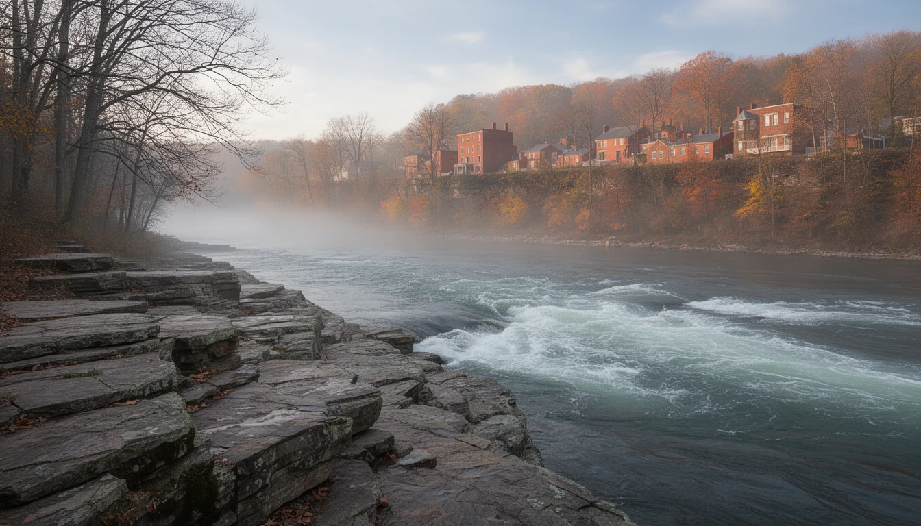
You hear the river before you see it at River Falls Park in Weldon. Water stacking up over the granite, then dropping, a low constant roar that carries up the bank and into the trees. On a cool morning the air smells like wet stone and river mud. That ledge is the reason the town exists.
The ledge that stopped the boats
Between Roanoke Rapids and Weldon, the Roanoke falls about 100 feet over a few miles. Piedmont rock ends there and the flat Coastal Plain begins, so the river breaks into rapids on the way down. The canal’s own historians call the spot the great falls, and for anyone moving freight in the 1700s and early 1800s it was a wall. A bateau loaded with tobacco out of the upper valley could ride the current down to the rocks and go no further. Cargo came off the boat, got hauled around the falls on a road, and got loaded onto another boat below.
Halifax County’s river towns grew up around that problem. Weldon grew up by solving it.
Nine miles of ditch and granite
The Roanoke Canal was built between 1819 and 1823 as North Carolina’s piece of a much larger idea: a navigation system meant to connect the Virginia mountains to Norfolk, roughly 400 miles of river and canal. The local job was the hard part. Crews cut a nine-mile bateau canal with locks around the rapids, working through rock the whole way. The locks and the aqueduct that carries the canal over Chockoyotte Creek were built of native granite.
Walk the trail today and you can still put a hand on that stonework. It is tight and cut to fit, and it does not look like something built by hand in the 1820s until you notice the tool marks.
The canal worked, and then it didn’t. Freight moved down the river and around the falls, farmers in the interior got a route to market, and towns along the line got a reason to grow. Competition from rail cut into that business within twenty years. By the 1850s the canal was already the older technology.
It got one second life. In 1885 the canal company deepened and widened the channel, not for boats but for water power. In the early 1900s a brick generator house went up at the upper locks and produced the area’s first electricity. That building is the Roanoke Canal Museum now, at 15 Jackson Street Extension in Roanoke Rapids, and the old towpath is a trail of about 7 miles running between Roanoke Rapids and Weldon.
The railroad that built the grid
While the canal was losing its fight, a group of Wilmington merchants chartered a railroad. The North Carolina General Assembly approved the charter on December 30, 1833, and the original plan was to run from the coast to Raleigh. In 1835 the charter was amended and the terminus moved to Weldon instead, because Raleigh’s money did not show up and the Roanoke valley’s freight did. The line opened in May 1840 at 161.5 miles, longer than any other railroad in the world at the time. In 1855 it took the name most people here still use: the Wilmington and Weldon.
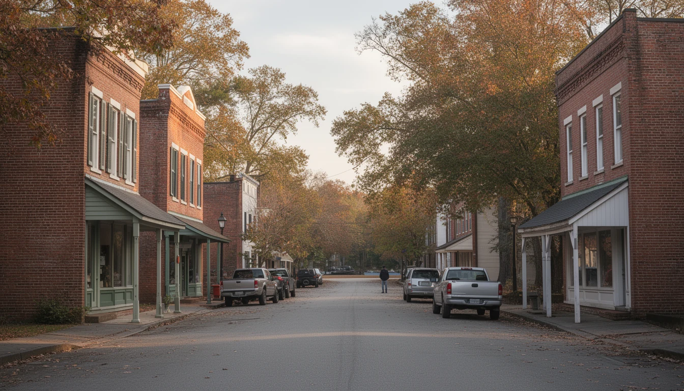
At Weldon it met two other roads, one running to Portsmouth and one to Petersburg. That junction is the whole story of the town’s next hundred years. Freight and passengers changed trains here. Hotels filled. The streets behind the depot filled with houses of people who worked the railroad.
Weldon incorporated on January 6, 1843. For most of the nineteenth century it was the largest and most important town in Halifax County, bigger than the county seat five miles south and, for a long stretch, busier than Roanoke Rapids.
What four generations of building left in one grid
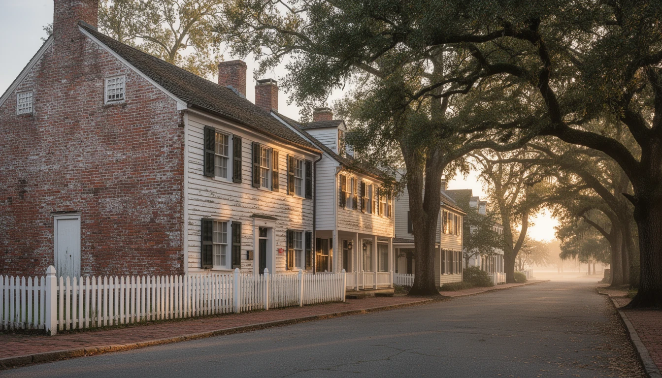
The Weldon Historic District covers roughly 109 acres and 256 contributing buildings, listed on the National Register on May 23, 1996. Its boundaries are roughly US 301, Woodlawn Avenue, Cedar Street, 8th and 9th Streets, and the CSX tracks. The styles named in the nomination are Queen Anne, Colonial Revival, and Bungalow/Craftsman, which is a polite way of saying the district holds about four generations of building in one walkable grid.
That matters to a buyer more than the architecture label does. Each generation of house comes with its own list of things to check.
The oldest layer sits close to the old commercial core: two-story frame and brick houses from the canal and early rail decades, often with wide central halls and simple, heavy trim. Then the rail-boom houses, Queen Anne and Colonial Revival, with wraparound porches and tall windows. Then the early twentieth century, when bungalows and Craftsman four-squares went up for railroad workers and mill families on the numbered streets.
I have walked all three layers in this town in a single afternoon. The consistent thing is the materials. Heart pine floors you cannot buy at any price now, ten-foot ceilings, doors that swing on original hardware, brick that was fired locally. The other consistent thing is that none of it has been updated on a schedule.
What the rail-era grid asks of a buyer today
Railroad towns were platted tight, and Weldon is no exception. Lots on the numbered streets usually run narrow and deep rather than wide, and many blocks have an alley behind them that once carried deliveries and now carries garbage trucks and parking. That layout changes what a property can actually do for you.
A narrow lot limits where you can put a garage or a shop, and it limits how a future addition sits against the neighbors. If the driveway is shared or the alley is not deeded, that is a title question, not a preference. Ask for the plat and the deed, not the listing remarks.
Street parking matters more here than in a subdivision with a two-car apron, especially on the blocks close to the old commercial core. And the freight line still runs through town, so a house near the tracks is a different purchase than one four blocks off them. Stand in the yard and wait for a train before you decide how you feel about it.
The honest trade-off
An old Weldon house can be a genuinely good purchase, and it can also be a second job. The difference is usually not visible in listing photos.
What you are buying in the good ones is space and materials that would cost more than the house to reproduce. What you are buying in the bad ones is a project priced like a house. The spread between those two is wide here, wider than in most of the county, because this is a small town with a lot of old inventory and not every owner kept up.
The specific list is predictable. Knob-and-tube wiring that has been added onto for decades. Galvanized supply lines that are near the end of their life. Pier foundations that have settled unevenly, which shows up as a sloping floor and a door that will not latch. Single-pane windows and almost no insulation, which you will feel in July and read on the power bill in August. Roofs at the end of their second layer of shingles. And moisture, always moisture, in a river town with crawl spaces.
None of that is a reason to walk away. It is a reason to inspect, price the repairs, and make the offer reflect them. A $12,000 foundation and wiring bill is a fact you want before closing, not after.
One more thing about the historic district. A National Register listing by itself does not control what a private owner does inside a house, or outside it, unless federal money or a local ordinance is involved. Local rules are a separate question, and the town is the right place to ask before you plan a project.
Flood, and why the map is parcel by parcel
Weldon exists because of the river, and the same geography that made it a transportation hub puts low ground in the floodplain. The Roanoke below the fall line also runs on dam releases from the upstream reservoirs, so a dry week during your showing proves nothing about a wet April.
Flood zones here do not follow the shape of the town. They follow the contour, and that contour cuts through blocks. Two houses a few hundred feet apart can sit in different zones with very different carrying costs. If the house is in a Special Flood Hazard Area, a federally backed lender will require flood insurance, so get a real quote during due diligence rather than after closing. An elevation certificate can move that number in either direction, and it is worth asking whether one exists.
Pull the map yourself at msc.fema.gov for the exact parcel. It takes five minutes and it changes how you read a listing.
How I walk a house in this town
Start at the foundation and work up, because that is where the expensive surprises live. Look at the piers and the sills, then at the soil line where the downspouts dump. Then the wiring: open the panel and look for cloth-covered conductors or a fuse box, and ask when the service was last upgraded. Then the plumbing, especially if the house still has galvanized pipe.
In the attic, look for daylight and for old water stains on the roof deck, not just the current shingles. In the crawl space, look for standing water, fresh joist repairs, and whether the vapor barrier is doing anything.
Then the boring questions. Ask for a year of power bills. Compare the heated square footage on the county tax card to the number in the listing. Ask what the last three winters did to the pipes. In a town where the housing stock is this old, that paperwork tells you more than a fresh coat of paint does.
The sequence, and what it means for a purchase
Nothing about this town is new. The canal is a walking trail, the railroad is a freight line you hear at night, and the houses are what those two facts produced. A buyer who understands that sequence bids differently. You stop expecting a renovated house at an unrenovated price, and you start looking for the ones where the work was done properly and documented.
That is the honest version of buying in Weldon. The town gives you materials and space that a new build cannot match for the money. It asks you to do the homework on everything underneath them.
If you want that homework done before you fall for a porch, Travis will pull the flood map, the tax card, and the repair history on any house in this town, and tell you which layer of the grid it came from. Call or text him at (252) 202-4945, or start with the Weldon listings to see what is actually on the market.
Building dates, canal structures, and historic district boundaries are documented sources, cited above. Flood zones are parcel-specific; verify any address at the FEMA Flood Map Service Center and with a real insurance quote before you write an offer. NC Real Estate Broker, License #334264. Equal Housing Opportunity.
Keep reading
Five Drives That Decide Where You Live in Halifax County
Five drives that decide where you live in Halifax County: I-95 south to Rocky Mount and north to Virginia, US-301 through the towns, and the lake road.
Halifax County Property Taxes: Four Layers, One Bill
Halifax County property taxes for buyers: FY 2025-26 rates town by town, school supplemental levies, the four-year revaluation cycle, and escrow.
5 Historic Halifax County Places to Walk Before You Buy
Five Halifax County places worth walking before you buy: Historic Halifax, the Roanoke Rapids mill district, Enfield, Scotland Neck, and Tillery.